New River Gorge Bridge Area Topography
The topography of the New River around the New River Gorge Bridge in West Virginia was meshed using CENTAUR. A full hybrid grid was generated beginning with Digital Elevation Model (DEM) data from the United States Geological Survey (USGS). The terrain data was sampled at 1/3 arcsecond intervals (~10m resolution).
The final CENTAUR mesh consists of prisms, pyramids and tetrahedra and is suitable for CFD modeling of pollution dispersion, wind patterns and other environmental flows.
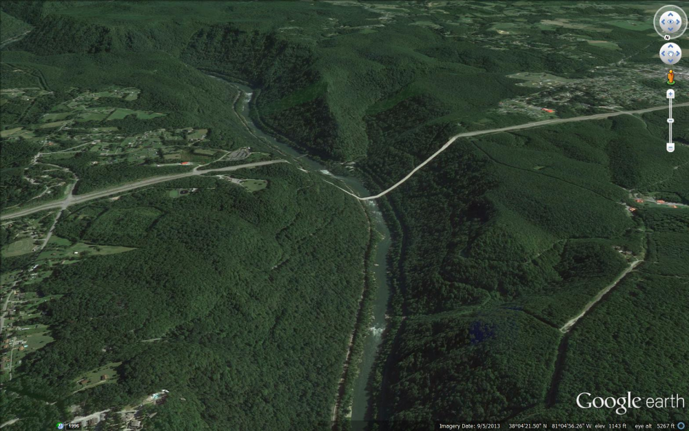
Google Earth
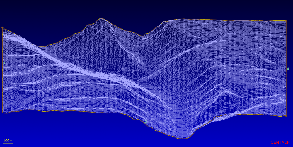
Raw Elevation Data from USGS
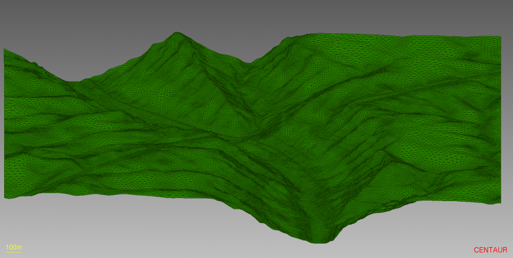
Surface Mesh
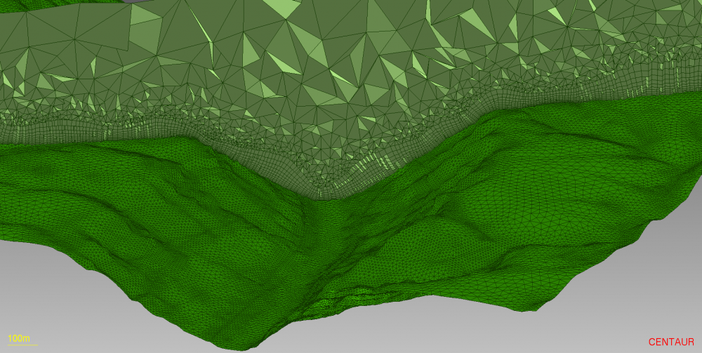
Hybrid Mesh
New River Gorge Bridge