Gulf of Corinth Topography
The topography of the Strait of Rion where the Gulf of Corinth empties into the Gulf of Patras was meshed using CENTAUR. A full hybrid grid was generated beginning with Digital Elevation Model (DEM) data from the European Environment Agency (EEA). The terrain data was sampled at 1 arcsecond intervals (~30m resolution).
The final CENTAUR mesh consists primarily of prisms and tetrahedra and is suitable for CFD modeling of pollution dispersion, wind patterns and other environmental flows.
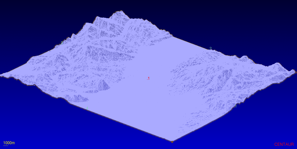
Raw Elevation Data from EEA
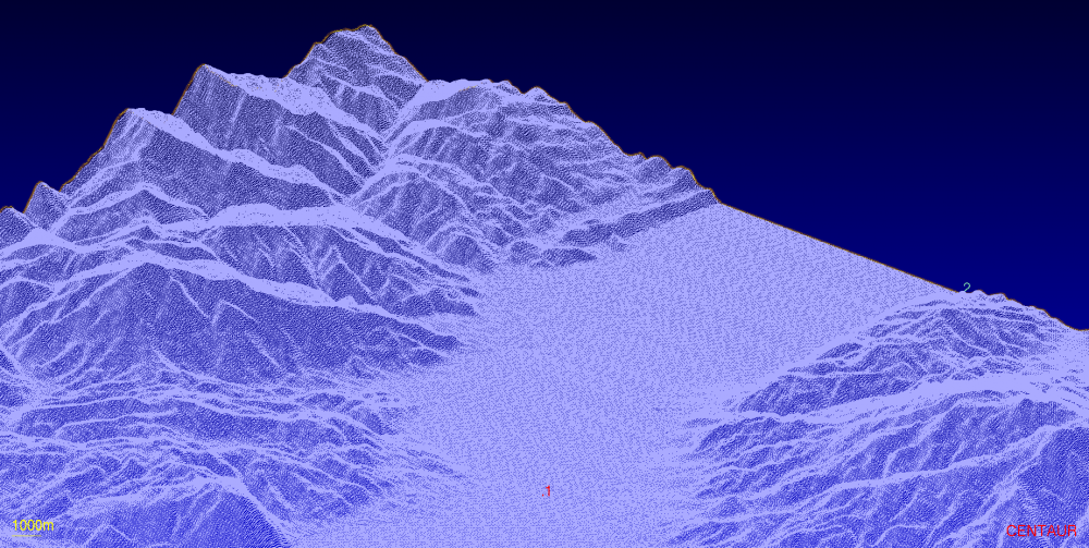
Raw Elevation Data from EEA (Closeup)
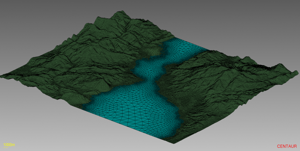
Surface Mesh
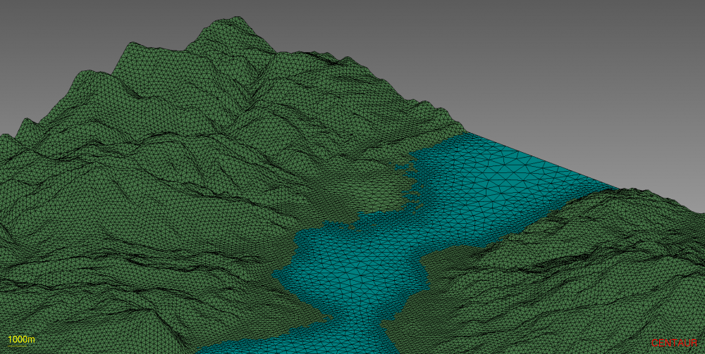
Surface Mesh (Closeup)
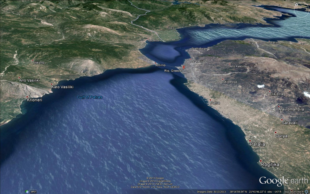
Google Earth
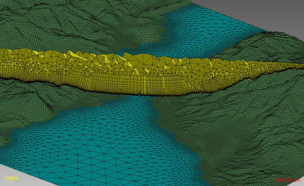
Hybrid Mesh