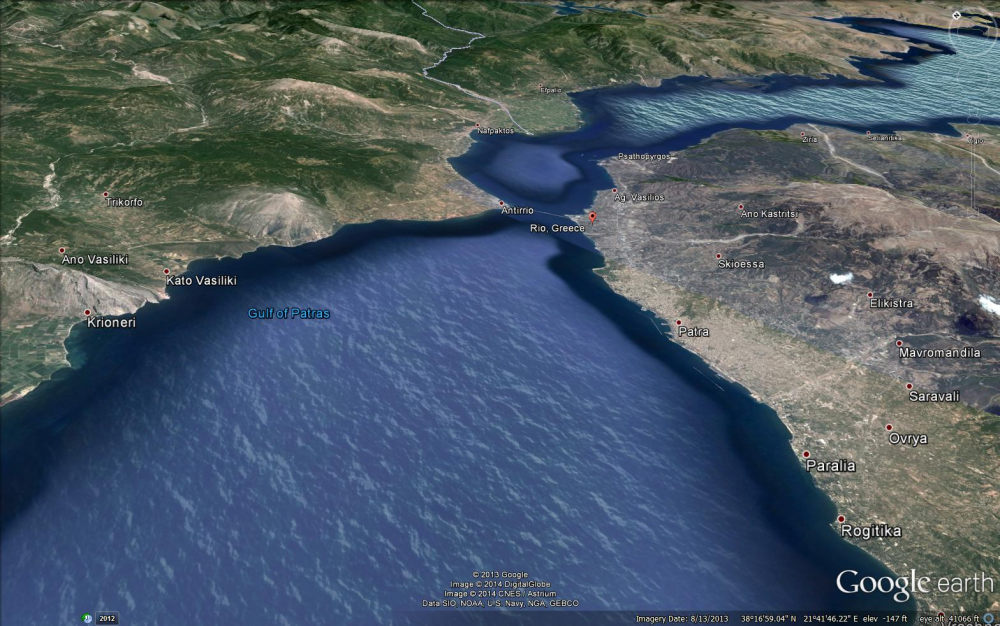
Gulf of Corinth Topography
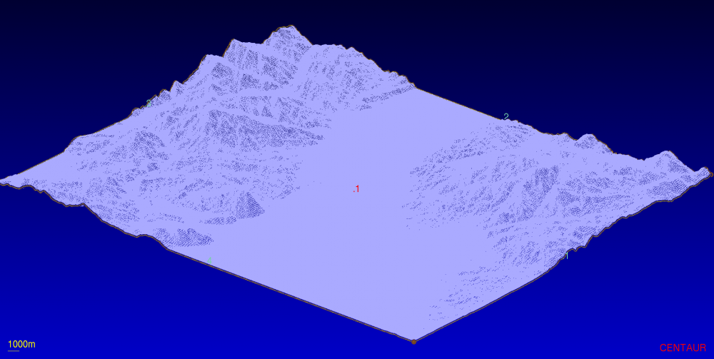
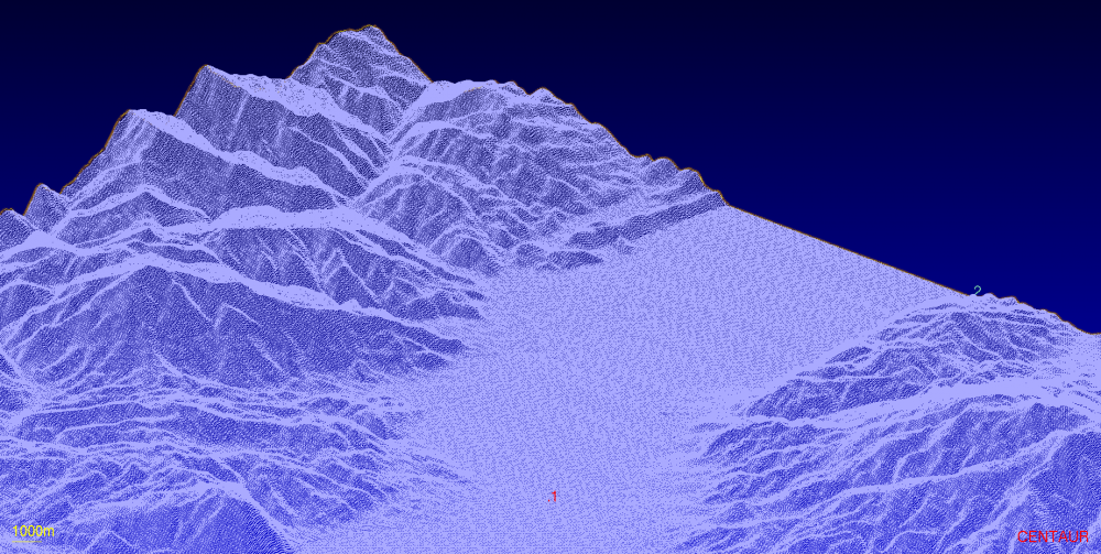
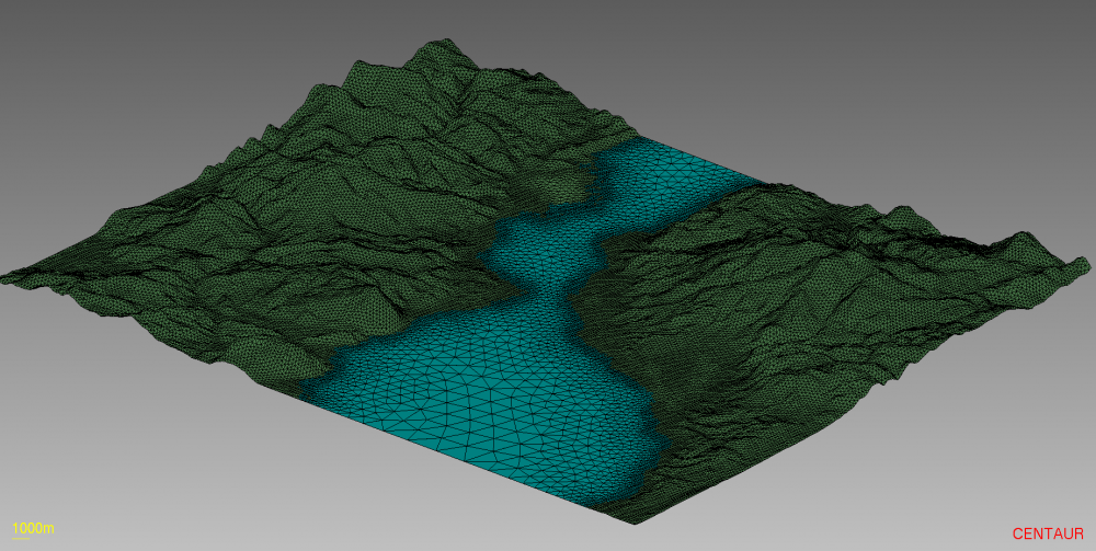
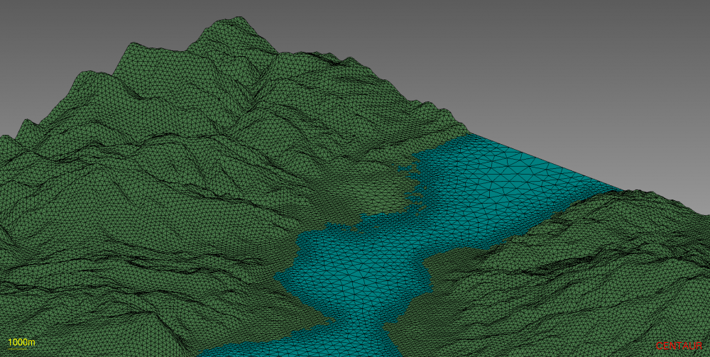
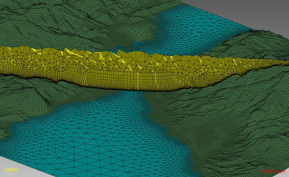
The topography of the Strait of Rion where the Gulf of Corinth empties into the Gulf of Patras was meshed using CENTAUR. A full hybrid grid was generated beginning with Digital Elevation Model (DEM) data from the European Environment Agency (EEA). The terrain data was sampled at 1 arcsecond intervals (~30m resolution).
The final CENTAUR mesh consists primarily of prisms and tetrahedra and is suitable for CFD modeling of pollution dispersion, wind patterns and other environmental flows.

